


L'Escaillon et le tour de Guet

mb83serre
User GUIDE
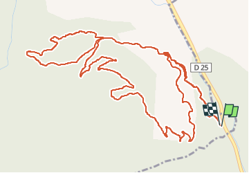

Length
9.7 km

Max alt
381 m

Uphill gradient
349 m
Km-Effort
14.3 km

Min alt
126 m

Downhill gradient
349 m
Boucle
Yes
Creation date :
2025-02-17 07:37:46.646
Updated on :
2025-02-17 13:35:18.222
3h26
Difficulty : Medium

FREE GPS app for hiking
 SityTrail
IGN / Geographical institutes
SityTrail Plus
The world is yours!
About
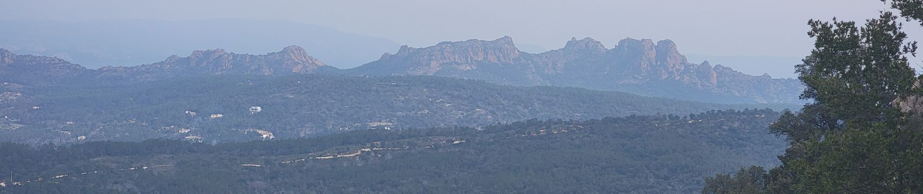
Trail Walking of 9.7 km to be discovered at Provence-Alpes-Côte d'Azur, Var, Le Muy. This trail is proposed by mb83serre.
Photos


Positioning
Country:
France
Region :
Provence-Alpes-Côte d'Azur
Department/Province :
Var
Municipality :
Le Muy
Location:
Unknown
Start:(Dec)
Start:(UTM)
304016 ; 4808194 (32T) N.
Comments